
Thank you for supporting this site ❤️
Make a donation
Make a donation
El Raso topographic map
Click on the map to display elevation.
Thank you for supporting this site ❤️
Make a donation
Make a donation
About this map
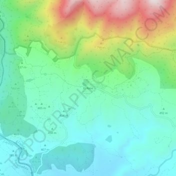
Name: El Raso topographic map, elevation, terrain.
Location: El Raso, Candeleda, Ávila, Castile and León, 05489, Spain (40.15051 -5.35958 40.19051 -5.31958)
Average elevation: 555 m
Minimum elevation: 342 m
Maximum elevation: 1,085 m
Thank you for supporting this site ❤️
Make a donation
Make a donation