
Thank you for supporting this site ❤️
Make a donation
Make a donation
Zanderij topographic map
Click on the map to display elevation.
Thank you for supporting this site ❤️
Make a donation
Make a donation
About this map
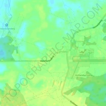
Name: Zanderij topographic map, elevation, terrain.
Location: Zanderij, Zuid, Para, Suriname (5.43636 -55.22730 5.47636 -55.18730)
Average elevation: 13 m
Minimum elevation: 4 m
Maximum elevation: 22 m
Thank you for supporting this site ❤️
Make a donation
Make a donation