
Dabney topographic map
Click on the map to display elevation.
About this map
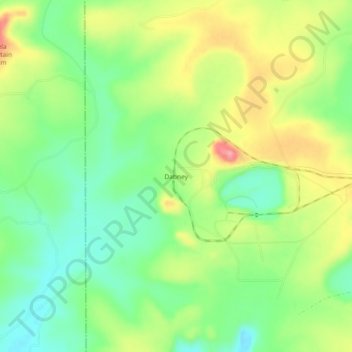
Name: Dabney topographic map, elevation, terrain.
Location: Dabney, Uvalde County, Texas, United States (29.14246 -100.11951 29.18246 -100.07951)
Average elevation: 325 m
Minimum elevation: 279 m
Maximum elevation: 389 m
Other topographic maps
Click on a map to view its topography, its elevation and its terrain.