
Thank you for supporting this site ❤️
Make a donation
Make a donation
Sorgintxulo topographic map
Click on the map to display elevation.
Thank you for supporting this site ❤️
Make a donation
Make a donation
About this map
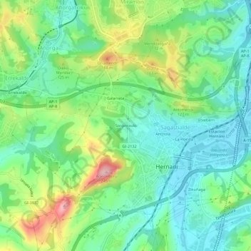
Name: Sorgintxulo topographic map, elevation, terrain.
Location: Sorgintxulo, Hernani, Guipúzcoa, País Vasco, 20120, España (43.25269 -2.00373 43.29269 -1.96373)
Average elevation: 67 m
Minimum elevation: 1 m
Maximum elevation: 211 m
Thank you for supporting this site ❤️
Make a donation
Make a donation