
Thank you for supporting this site ❤️
Make a donation
Make a donation
Kumbungu topographic map
Click on the map to display elevation.
Thank you for supporting this site ❤️
Make a donation
Make a donation
About this map
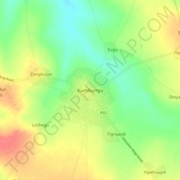
Name: Kumbungu topographic map, elevation, terrain.
Location: Kumbungu, Kumbungu District, Northern Region, Ghana (9.51913 -0.98671 9.59913 -0.90671)
Average elevation: 141 m
Minimum elevation: 116 m
Maximum elevation: 170 m
Thank you for supporting this site ❤️
Make a donation
Make a donation