
Gravel Island topographic map
Interactive map
Click on the map to display elevation.
About this map
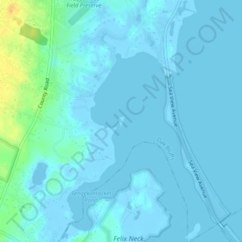
Name: Gravel Island topographic map, elevation, terrain.
Location: Gravel Island, Oak Bluffs, Dukes County, Massachusetts, USA (41.42714 -70.56403 41.42828 -70.56306)
Average elevation: 4 m
Minimum elevation: -10 m
Maximum elevation: 28 m