
Laupersdorf topographic map
Interactive map
Click on the map to display elevation.
About this map
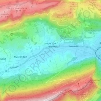
Name: Laupersdorf topographic map, elevation, terrain.
Location: Laupersdorf, Bezirk Thal, Amtei Thal-Gäu, Soleure, 4712, Suisse (47.28290 7.62419 47.33678 7.67910)
Average elevation: 733 m
Minimum elevation: 477 m
Maximum elevation: 1,192 m