
Wallingford topographic map
Interactive map
Click on the map to display elevation.
About this map
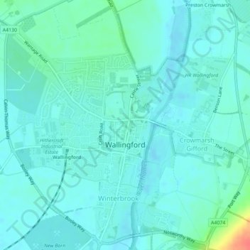
Name: Wallingford topographic map, elevation, terrain.
Average elevation: 51 m
Minimum elevation: 42 m
Maximum elevation: 94 m
Other topographic maps
Click on a map to view its topography, its elevation and its terrain.
Henley-on-Thames
Reino Unido > Inglaterra > Oxfordshire > South Oxfordshire
Henley-on-Thames, South Oxfordshire, Oxfordshire, Inglaterra, RG9 2AN, Reino Unido
Average elevation: 78 m