
Tianjin topographic map
Interactive map
Click on the map to display elevation.
Tianjin
There is 153 km (95 mi) of coastline and 1,137.48 kilometers (706.80 mi) of land border. It lies at the northern end of the Grand Canal of China, which connects with the Yellow River and Yangtze River. The municipality is generally flat, and swampy near the coast, but hilly in the far north, where the Yan Mountains intrude into northern Tianjin. Extensive tidal flats occur on the coastal plain adjacent to the city. The highest point in the municipality is Jiuding Peak (九顶山) in Ji County on the northern border with Hebei, at an altitude of 1,078.5 m (3,538 ft).
About this map
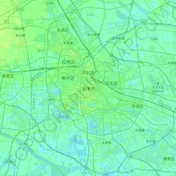
Name: Tianjin topographic map, elevation, terrain.
Location: Tianjin, 300061, China (38.92480 117.03599 39.24480 117.35599)
Average elevation: 4 m
Minimum elevation: -5 m
Maximum elevation: 21 m