
Thank you for supporting this site ❤️
Make a donation
Make a donation
Sungai Mengkibol topographic map
Click on the map to display elevation.
Thank you for supporting this site ❤️
Make a donation
Make a donation
About this map
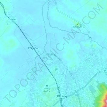
Name: Sungai Mengkibol topographic map, elevation, terrain.
Location: Sungai Mengkibol, Kluang, Johor, 86000, Malaysia (2.02344 103.30312 2.10926 103.32370)
Average elevation: 37 m
Minimum elevation: 16 m
Maximum elevation: 417 m
Thank you for supporting this site ❤️
Make a donation
Make a donation
Other topographic maps
Click on a map to view its topography, its elevation and its terrain.