
Thank you for supporting this site ❤️
Make a donation
Make a donation
Vestfelli topographic map
Click on the map to display elevation.
Thank you for supporting this site ❤️
Make a donation
Make a donation
About this map
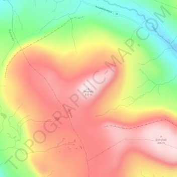
Name: Vestfelli topographic map, elevation, terrain.
Location: Vestfelli, Húsavík, Sandoyar sýsla, 230, Færøerne (61.80418 -6.71367 61.80428 -6.71357)
Average elevation: 228 m
Minimum elevation: 15 m
Maximum elevation: 392 m
Thank you for supporting this site ❤️
Make a donation
Make a donation