
Thank you for supporting this site ❤️
Make a donation
Make a donation
Heyggjurin Mikli topographic map
Click on the map to display elevation.
Thank you for supporting this site ❤️
Make a donation
Make a donation
About this map
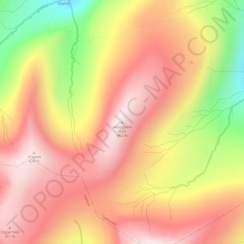
Name: Heyggjurin Mikli topographic map, elevation, terrain.
Location: Heyggjurin Mikli, Tjørnuvík, Streymoyar sýsla, 445, Færøerne (62.28337 -7.18104 62.28347 -7.18094)
Average elevation: 432 m
Minimum elevation: 43 m
Maximum elevation: 676 m
Thank you for supporting this site ❤️
Make a donation
Make a donation