
Bilderdam topographic map
Interactive map
Click on the map to display elevation.
About this map
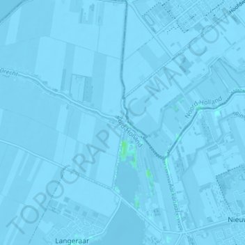
Name: Bilderdam topographic map, elevation, terrain.
Location: Bilderdam, Südholland, Niederlande, 2451CX, Niederlande (52.19245 4.70324 52.23245 4.74324)
Average elevation: -3 m
Minimum elevation: -7 m
Maximum elevation: 4 m