
Torremayor topographic map
Interactive map
Click on the map to display elevation.
About this map
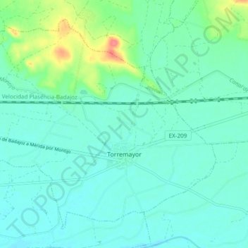
Name: Torremayor topographic map, elevation, terrain.
Location: Torremayor, Badajoz, Extremadura, España (38.88377 -6.58430 38.93299 -6.50992)
Average elevation: 202 m
Minimum elevation: 189 m
Maximum elevation: 251 m
Other topographic maps
Click on a map to view its topography, its elevation and its terrain.
Río Lácara
España > Extremadura > Torremayor
Río Lácara, Torremayor, Badajoz, Extremadura, España
Average elevation: 196 m