
Thank you for supporting this site ❤️
Make a donation
Make a donation
Ban Nang topographic map
Click on the map to display elevation.
Thank you for supporting this site ❤️
Make a donation
Make a donation
About this map
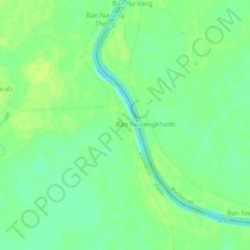
Name: Ban Nang topographic map, elevation, terrain.
Location: Ban Nang, Nong Bok District, Khammouane, Laos (16.93438 104.80314 16.97438 104.84314)
Average elevation: 141 m
Minimum elevation: 133 m
Maximum elevation: 146 m
Thank you for supporting this site ❤️
Make a donation
Make a donation