
Apache County topographic map
Interactive map
Click on the map to display elevation.
About this map
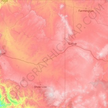
Name: Apache County topographic map, elevation, terrain.
Location: Apache County, Arizona, United States of America (33.47544 -110.00107 36.99935 -109.04513)
Average elevation: 1,926 m
Minimum elevation: 466 m
Maximum elevation: 3,411 m
Other topographic maps
Click on a map to view its topography, its elevation and its terrain.
Pinal County
United States of America > Arizona
Pinal County, Arizona, United States of America
Average elevation: 729 m