
Thank you for supporting this site ❤️
Make a donation
Make a donation
Koyah topographic map
Click on the map to display elevation.
Thank you for supporting this site ❤️
Make a donation
Make a donation
About this map
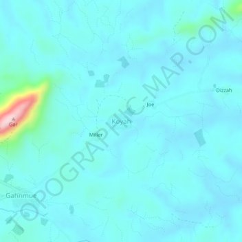
Name: Koyah topographic map, elevation, terrain.
Location: Koyah, Panta, Bong County, Liberia (7.22514 -9.16864 7.26514 -9.12864)
Average elevation: 294 m
Minimum elevation: 266 m
Maximum elevation: 547 m
Thank you for supporting this site ❤️
Make a donation
Make a donation