
建设街道 topographic map
Interactive map
Click on the map to display elevation.
About this map
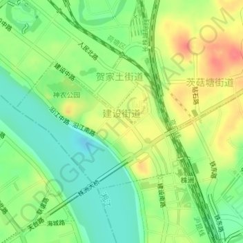
Name: 建设街道 topographic map, elevation, terrain.
Location: 建设街道, Lusong District, Zhuzhou, Hunan, 412008, China (27.83670 113.13006 27.85176 113.15233)
Average elevation: 47 m
Minimum elevation: 20 m
Maximum elevation: 81 m