
Thank you for supporting this site ❤️
Make a donation
Make a donation
Khula Kangri I topographic map
Click on the map to display elevation.
Thank you for supporting this site ❤️
Make a donation
Make a donation
About this map
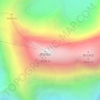
Name: Khula Kangri I topographic map, elevation, terrain.
Location: Khula Kangri I, Se, Lhodrak County, Lhoka, Tibet, China (28.22726 90.61521 28.22736 90.61531)
Average elevation: 6,562 m
Minimum elevation: 5,734 m
Maximum elevation: 7,541 m
Thank you for supporting this site ❤️
Make a donation
Make a donation