
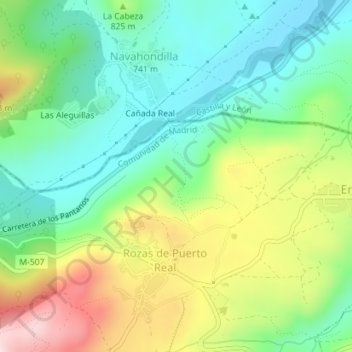
Las Casaruelas topographic map
Interactive map
Click on the map to display elevation.
About this map
Name: Las Casaruelas topographic map, elevation, terrain.
Average elevation: 797 m
Minimum elevation: 677 m
Maximum elevation: 1,013 m
Other topographic maps
Click on a map to view its topography, its elevation and its terrain.
Las Casquetas
España > Comunidad de Madrid > Rozas de Puerto Real
Las Casquetas, Entrepinos, Rozas de Puerto Real, Comunidad de Madrid, 28649, España
Average elevation: 783 m