
Thank you for supporting this site ❤️
Make a donation
Make a donation
Blang topographic map
Click on the map to display elevation.
Thank you for supporting this site ❤️
Make a donation
Make a donation
About this map
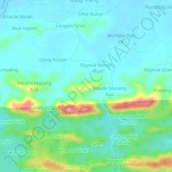
Name: Blang topographic map, elevation, terrain.
Location: Blang, Paya Bakong, Aceh Utara, Aceh, Sumatra, Indonésia (4.92165 97.18788 4.96165 97.22788)
Average elevation: 52 m
Minimum elevation: 18 m
Maximum elevation: 171 m
Thank you for supporting this site ❤️
Make a donation
Make a donation