
空港花田 topographic map
Interactive map
Click on the map to display elevation.
About this map
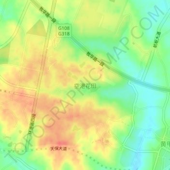
Name: 空港花田 topographic map, elevation, terrain.
Location: 空港花田, 黄甲街道, 双流区, 成都市, 四川省, 中国 (30.49541 103.92103 30.51502 103.94062)
Average elevation: 528 m
Minimum elevation: 501 m
Maximum elevation: 551 m
Other topographic maps
Click on a map to view its topography, its elevation and its terrain.