
龍井村 topographic map
Interactive map
Click on the map to display elevation.
About this map
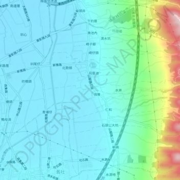
Name: 龍井村 topographic map, elevation, terrain.
Location: 龍井村, 社頭鄉, 彰化縣, 臺灣 (23.91480 120.59113 23.92430 120.63724)
Average elevation: 85 m
Minimum elevation: 28 m
Maximum elevation: 345 m