
伊金霍洛旗 topographic map
Interactive map
Click on the map to display elevation.
About this map
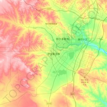
Name: 伊金霍洛旗 topographic map, elevation, terrain.
Location: 伊金霍洛旗, Ордос / 鄂尔多斯市 / Ordos, Mongolie-Intérieure, RPC (39.40377 109.58190 39.72377 109.90190)
Average elevation: 1,374 m
Minimum elevation: 1,221 m
Maximum elevation: 1,535 m