
Thank you for supporting this site ❤️
Make a donation
Make a donation
Asker topographic map
Click on the map to display elevation.
Thank you for supporting this site ❤️
Make a donation
Make a donation
About this map
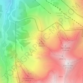
Name: Asker topographic map, elevation, terrain.
Location: Asker, Qarasay District, Almaty Region, Kazakhstan (43.10880 77.09146 43.10890 77.09156)
Average elevation: 2,987 m
Minimum elevation: 2,242 m
Maximum elevation: 3,696 m
Thank you for supporting this site ❤️
Make a donation
Make a donation