
Knowles topographic map
Interactive map
Click on the map to display elevation.
About this map
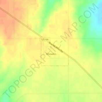
Name: Knowles topographic map, elevation, terrain.
Location: Knowles, Beaver County, Oklahoma, 73847, USA (36.87025 -100.19683 36.87795 -100.18775)
Average elevation: 772 m
Minimum elevation: 746 m
Maximum elevation: 786 m