
Tagant topographic map
Interactive map
Click on the map to display elevation.
About this map
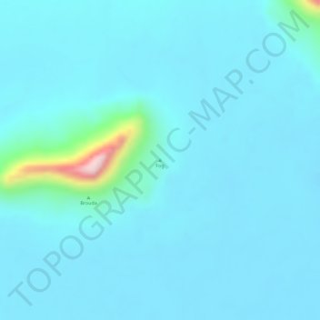
Name: Tagant topographic map, elevation, terrain.
Location: Tagant, Mauritania, Fog (17.28328 -11.70005 17.28338 -11.69995)
Average elevation: 195 m
Minimum elevation: 168 m
Maximum elevation: 429 m
Other topographic maps
Click on a map to view its topography, its elevation and its terrain.