
Nora kommun topographic map
Interactive map
Click on the map to display elevation.
About this map
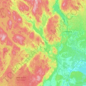
Name: Nora kommun topographic map, elevation, terrain.
Location: Nora kommun, Örebro County, Sweden (59.35755 14.62406 59.72846 15.17238)
Average elevation: 144 m
Minimum elevation: 29 m
Maximum elevation: 320 m