
Thank you for supporting this site ❤️
Make a donation
Make a donation
Bornberg topographic map
Click on the map to display elevation.
Thank you for supporting this site ❤️
Make a donation
Make a donation
About this map
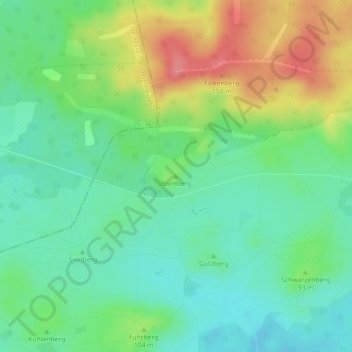
Name: Bornberg topographic map, elevation, terrain.
Location: Bornberg, Lohheide, Landkreis Celle, Niedersachsen, Deutschland (52.83714 9.86063 52.83724 9.86073)
Average elevation: 92 m
Minimum elevation: 63 m
Maximum elevation: 143 m
Thank you for supporting this site ❤️
Make a donation
Make a donation
Other topographic maps
Click on a map to view its topography, its elevation and its terrain.