
Chakulia topographic map
Click on the map to display elevation.
About this map
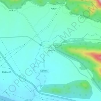
Name: Chakulia topographic map, elevation, terrain.
Location: Chakulia, Chandil, Seraikela-Kharsawan, Jharkhand, India (22.88816 86.09880 22.92816 86.13880)
Average elevation: 186 m
Minimum elevation: 130 m
Maximum elevation: 457 m