
Thank you for supporting this site ❤️
Make a donation
Make a donation
Lilla Moshult topographic map
Click on the map to display elevation.
Thank you for supporting this site ❤️
Make a donation
Make a donation
About this map
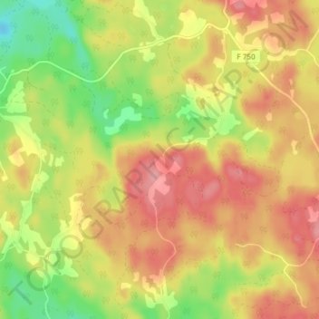
Name: Lilla Moshult topographic map, elevation, terrain.
Location: Lilla Moshult, Vetlanda kommun, Jönköping len, Sverige (57.20002 15.00964 57.24002 15.04964)
Average elevation: 256 m
Minimum elevation: 197 m
Maximum elevation: 303 m
Thank you for supporting this site ❤️
Make a donation
Make a donation
Other topographic maps
Click on a map to view its topography, its elevation and its terrain.