
Thank you for supporting this site ❤️
Make a donation
Make a donation
Nymburk topographic map
Click on the map to display elevation.
Thank you for supporting this site ❤️
Make a donation
Make a donation
About this map
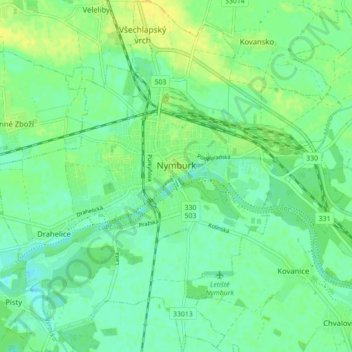
Name: Nymburk topographic map, elevation, terrain.
Location: Nymburk, okres Nymburk, Central Bohemia, Czechia (50.15651 14.99709 50.21256 15.08407)
Average elevation: 188 m
Minimum elevation: 180 m
Maximum elevation: 200 m
Thank you for supporting this site ❤️
Make a donation
Make a donation
Other topographic maps
Click on a map to view its topography, its elevation and its terrain.
Brdy
Czechia > Central Bohemia > Obecnice
Brdy is a range of hills in the Czech Republic, forming a long massif stretching for c. 60 km southwest from Prague. The northern section of the Brdy is called "Hřebeny" and features one narrow ridge (highest elevation Písek - 690 m). The main Brdy range starts south of the Litavka river gorge and consists…
Average elevation: 782 m