
Fuente Librilla topographic map
Interactive map
Click on the map to display elevation.
About this map
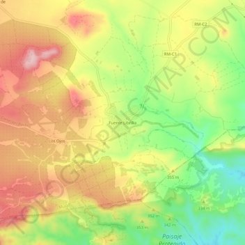
Name: Fuente Librilla topographic map, elevation, terrain.
Location: Fuente Librilla, Mula, Río Mula, Espanha (37.89856 -1.43428 37.93856 -1.39428)
Average elevation: 337 m
Minimum elevation: 237 m
Maximum elevation: 425 m