
Oldham County topographic map
Interactive map
Click on the map to display elevation.
About this map
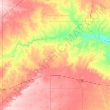
Name: Oldham County topographic map, elevation, terrain.
Location: Oldham County, Texas, Estados Unidos da América (35.18317 -103.04252 35.62754 -102.16284)
Average elevation: 1,163 m
Minimum elevation: 961 m
Maximum elevation: 1,352 m