
Thank you for supporting this site ❤️
Make a donation
Make a donation
Kampong Tulang topographic map
Click on the map to display elevation.
Thank you for supporting this site ❤️
Make a donation
Make a donation
About this map
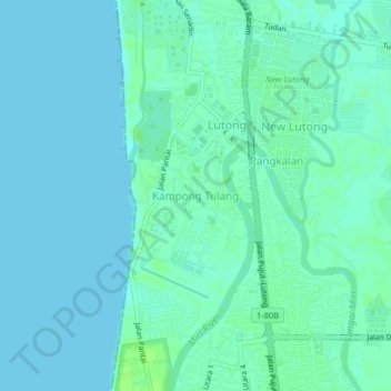
Name: Kampong Tulang topographic map, elevation, terrain.
Location: Kampong Tulang, Miri, Miri Division, Sarawak, 98100, Malaysia (4.44348 113.98581 4.48348 114.02581)
Average elevation: 3 m
Minimum elevation: 0 m
Maximum elevation: 10 m
Thank you for supporting this site ❤️
Make a donation
Make a donation