
Thank you for supporting this site ❤️
Make a donation
Make a donation
Lake George topographic map
Click on the map to display elevation.
Thank you for supporting this site ❤️
Make a donation
Make a donation
About this map
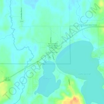
Name: Lake George topographic map, elevation, terrain.
Location: Lake George, Hubbard County, Minnesota, 56458, United States (47.18045 -95.01323 47.22045 -94.97323)
Average elevation: 435 m
Minimum elevation: 426 m
Maximum elevation: 468 m
Thank you for supporting this site ❤️
Make a donation
Make a donation
Other topographic maps
Click on a map to view its topography, its elevation and its terrain.