
St Marys topographic map
Interactive map
Click on the map to display elevation.
About this map
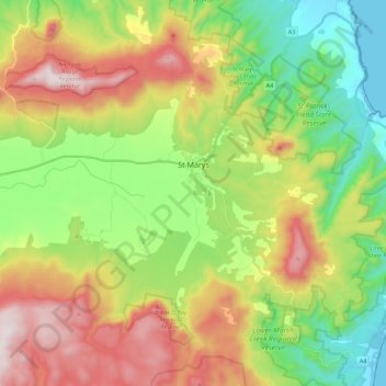
Name: St Marys topographic map, elevation, terrain.
Location: St Marys, Break O'Day, Tasmania, Australia (-41.67407 148.04755 -41.50999 148.26923)
Average elevation: 351 m
Minimum elevation: 0 m
Maximum elevation: 865 m
Other topographic maps
Click on a map to view its topography, its elevation and its terrain.