
Thank you for supporting this site ❤️
Make a donation
Make a donation
Andelfingen topographic map
Click on the map to display elevation.
Thank you for supporting this site ❤️
Make a donation
Make a donation
About this map
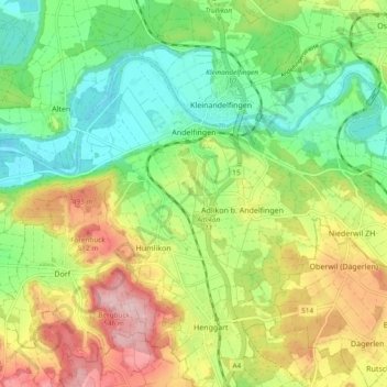
Name: Andelfingen topographic map, elevation, terrain.
Location: Andelfingen, Bezirk Andelfingen, Zürich, Schweiz (47.56275 8.64000 47.60753 8.73436)
Average elevation: 428 m
Minimum elevation: 346 m
Maximum elevation: 549 m
Thank you for supporting this site ❤️
Make a donation
Make a donation
Other topographic maps
Click on a map to view its topography, its elevation and its terrain.