
Thank you for supporting this site ❤️
Make a donation
Make a donation
Kvarnarp topographic map
Click on the map to display elevation.
Thank you for supporting this site ❤️
Make a donation
Make a donation
About this map
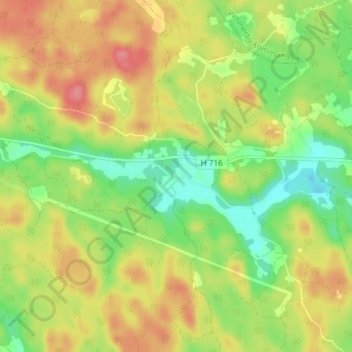
Name: Kvarnarp topographic map, elevation, terrain.
Location: Kvarnarp, Hultsfreds kommun, Kalmar län, Zweden (57.46771 16.10929 57.50771 16.14929)
Average elevation: 104 m
Minimum elevation: 66 m
Maximum elevation: 143 m
Thank you for supporting this site ❤️
Make a donation
Make a donation
Other topographic maps
Click on a map to view its topography, its elevation and its terrain.