
Thank you for supporting this site ❤️
Make a donation
Make a donation
Ramgiri topographic map
Click on the map to display elevation.
Thank you for supporting this site ❤️
Make a donation
Make a donation
About this map
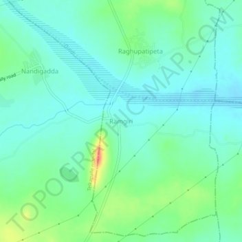
Name: Ramgiri topographic map, elevation, terrain.
Location: Ramgiri, Kalwakurthy mandal, Nagarkurnool, Telangana, India (16.48138 78.45866 16.52138 78.49866)
Average elevation: 428 m
Minimum elevation: 413 m
Maximum elevation: 468 m
Thank you for supporting this site ❤️
Make a donation
Make a donation