
Thank you for supporting this site ❤️
Make a donation
Make a donation
Pringle Bend topographic map
Click on the map to display elevation.
Thank you for supporting this site ❤️
Make a donation
Make a donation
About this map
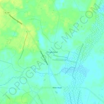
Name: Pringle Bend topographic map, elevation, terrain.
Location: Pringle Bend, Colleton County, South Carolina, United States (32.82795 -80.60788 32.86795 -80.56788)
Average elevation: 9 m
Minimum elevation: 2 m
Maximum elevation: 20 m
Thank you for supporting this site ❤️
Make a donation
Make a donation
Other topographic maps
Click on a map to view its topography, its elevation and its terrain.