
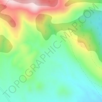
La Valleja topographic map
Interactive map
Click on the map to display elevation.
About this map
Name: La Valleja topographic map, elevation, terrain.
Location: La Valleja, Aliaguilla, Cuenca, Castela-Mancha, Espanha (39.75970 -1.33523 39.77970 -1.31523)
Average elevation: 1,140 m
Minimum elevation: 997 m
Maximum elevation: 1,396 m