
Thank you for supporting this site ❤️
Make a donation
Make a donation
Dagupan topographic map
Click on the map to display elevation.
Thank you for supporting this site ❤️
Make a donation
Make a donation
About this map
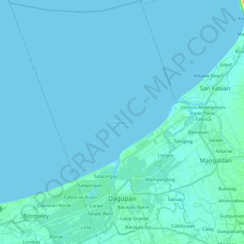
Name: Dagupan topographic map, elevation, terrain.
Location: Dagupan, Pangasinan, Ilocos Region, 2400, Philippines (16.01004 120.24970 16.18501 120.38626)
Average elevation: 2 m
Minimum elevation: -1 m
Maximum elevation: 38 m
Thank you for supporting this site ❤️
Make a donation
Make a donation
Other topographic maps
Click on a map to view its topography, its elevation and its terrain.