
陶寨村 topographic map
Interactive map
Click on the map to display elevation.
About this map
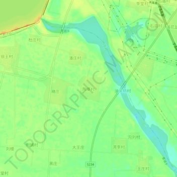
Name: 陶寨村 topographic map, elevation, terrain.
Location: 陶寨村, 平顶山市, 河南省, 中国 (33.67249 113.23329 33.71249 113.27329)
Average elevation: 93 m
Minimum elevation: 78 m
Maximum elevation: 106 m
Other topographic maps
Click on a map to view its topography, its elevation and its terrain.