
Thank you for supporting this site ❤️
Make a donation
Make a donation
Al Khubna topographic map
Click on the map to display elevation.
Thank you for supporting this site ❤️
Make a donation
Make a donation
About this map
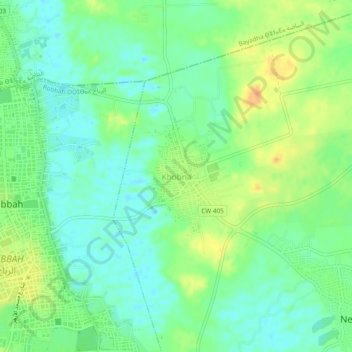
Name: Al Khubna topographic map, elevation, terrain.
Location: Al Khubna, Nekhla, Robbah District, El Oued, 39170, Algeria (33.27253 6.90720 33.31253 6.94720)
Average elevation: 84 m
Minimum elevation: 70 m
Maximum elevation: 105 m
Thank you for supporting this site ❤️
Make a donation
Make a donation