
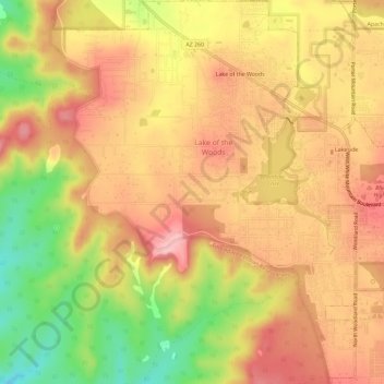
Lake of the Woods topographic map
Interactive map
Click on the map to display elevation.
About this map
Name: Lake of the Woods topographic map, elevation, terrain.
Location: Lake of the Woods, Navajo County, Arizona, United States (34.12504 -110.01818 34.17314 -109.97206)
Average elevation: 2,037 m
Minimum elevation: 1,946 m
Maximum elevation: 2,095 m