
Alcáçovas topographic map
Interactive map
Click on the map to display elevation.
About this map
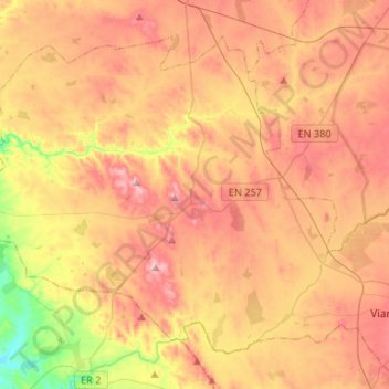
Name: Alcáçovas topographic map, elevation, terrain.
Location: Alcáçovas, Viana do Alentejo, Évora, Portugal (38.31281 -8.32257 38.48174 -8.05836)
Average elevation: 169 m
Minimum elevation: 24 m
Maximum elevation: 283 m
Other topographic maps
Click on a map to view its topography, its elevation and its terrain.
Vale de Nogueira
Portugal > Évora > Viana do Alentejo
Vale de Nogueira, Viana do Alentejo, Évora, 7090-096, Portugal
Average elevation: 208 m