
Thank you for supporting this site ❤️
Make a donation
Make a donation
Duy Tiên topographic map
Click on the map to display elevation.
Thank you for supporting this site ❤️
Make a donation
Make a donation
About this map
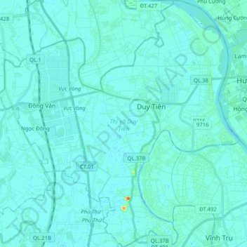
Name: Duy Tiên topographic map, elevation, terrain.
Location: Duy Tiên, Hà Nam Province, 03513, Vietnam (20.55806 105.89138 20.70438 106.04509)
Average elevation: 5 m
Minimum elevation: -2 m
Maximum elevation: 58 m
Thank you for supporting this site ❤️
Make a donation
Make a donation