
Thank you for supporting this site ❤️
Make a donation
Make a donation
Ruiri topographic map
Click on the map to display elevation.
Thank you for supporting this site ❤️
Make a donation
Make a donation
About this map
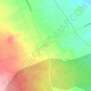
Name: Ruiri topographic map, elevation, terrain.
Location: Ruiri, Buuri, Meru County, Eastern, Kenya (0.13199 37.63733 0.17199 37.67733)
Average elevation: 1,497 m
Minimum elevation: 1,410 m
Maximum elevation: 1,600 m
Thank you for supporting this site ❤️
Make a donation
Make a donation