
Thank you for supporting this site ❤️
Make a donation
Make a donation
Cudrefin topographic map
Click on the map to display elevation.
Thank you for supporting this site ❤️
Make a donation
Make a donation
About this map
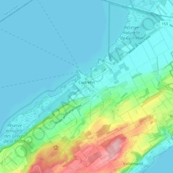
Name: Cudrefin topographic map, elevation, terrain.
Location: Cudrefin, District de la Broye-Vully, Vaud, 1588, Suisse (46.92889 6.98200 46.98048 7.06304)
Average elevation: 457 m
Minimum elevation: 423 m
Maximum elevation: 591 m
Thank you for supporting this site ❤️
Make a donation
Make a donation
Other topographic maps
Click on a map to view its topography, its elevation and its terrain.